Pamir / Muztagh Ata · China
Muztagh Ata
7546 m·Independent peak·first ascent 1956
- Elevation
- 7546 m
- Prominence
- 2698 m
- Class
- Independent peak
- Range
- Pamir / Muztagh Ata
- Countries
- China
- Coordinates
- 38.2758° N / 75.1167° E
- First ascent
- 1956
- Climbed
- Yes
Overview
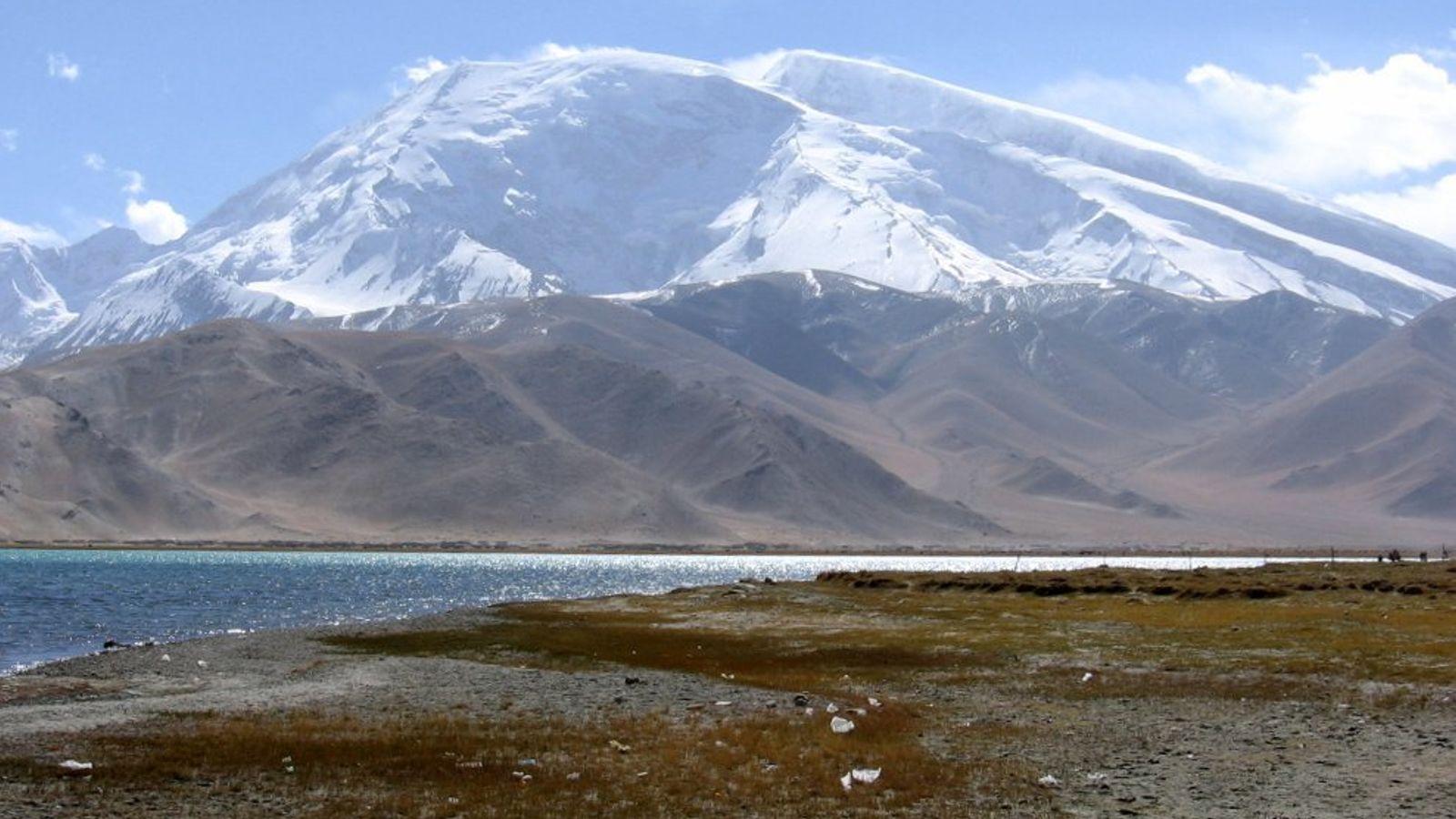
Muztagh Ata means “father of ice mountains” in Turkic languages. It rises above the western edge of the Tibetan Plateau in Xinjiang, visible from the Karakoram Highway near Karakul. Lists sometimes file it with the Kunlun; the massif itself sits with the Eastern Pamirs. The west face is a long, moderate snow slope, not a wall.
Sven Hedin tried the mountain in 1894. Shipton and Tilman came close in 1947 and turned back in deep snow. A large Soviet–Chinese party led by Evgeny Beletsky made the first ascent in 1956 by the west ridge, now the standard route. In 1980 a party led by Ned Gillette skied the same line from the summit: the first ski ascent and descent of a peak over 7,500 m. That reputation has stuck. Outfitters still sell Muztagh Ata as one of the more approachable 7000ers — jeep to base camp, several snow camps, a long summit day.
“Easy” here is relative. The summit is higher than anything in the Alps or North America, the west slope is wind-scoured, and many fit parties fail on summit day. Harder lines exist on the southeast ridge. On this site Muztagh Ata is the counterweight to Jannu and Gasherbrum IV: a 7000er people climb because the slope allows it, not because the face forbids it. en.wikipedia.org